

Project
GeoNames for the Dutch archaeology e-depot
DANS
The E-RIHS project GeoNames represents an important further development for the Dutch archaeological infrastructure. It contributes to a major improvement for archaeologists searching for information on the map.
DANS is the national expertise centre and repository for research data. DANS helps researchers to make their data available for reuse. This allows scientists to use the data for new research and makes published research verifiable and repeatable. With more than 300,000 datasets and sixty staff members, DANS is one of the leading repositories in Europe. The DANS Data Station Archaeology enables researchers to deposit archaeological data and search for data within the archaeology domain.
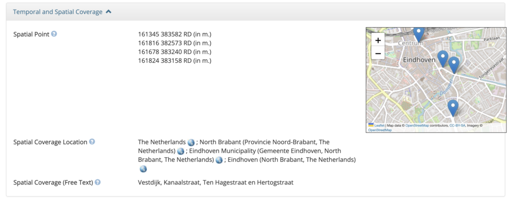
From now on, the geographical information of the DANS Data Station Archaeology is more visible and discoverable for reuse. Geographical information is now stored in a standardised way and shared using the GeoNames controlled vocabulary.
This has been added to the Data Station, funded by E-RIHS.nl. When archiving archaeological research, archaeologists will henceforth fill in geo-metadata, such as place names, countries, municipalities and provinces, via this newly added data standard.
Moreover, DANS has converted information from old collections: the country information has been migrated to GeoNames. In the future, this could also happen for place names or provinces, for example.
LINK
the archaeological collection at DANS
CONTACT
Hella Hollander, DANS Data Station Manager Archaeology
e-mail